

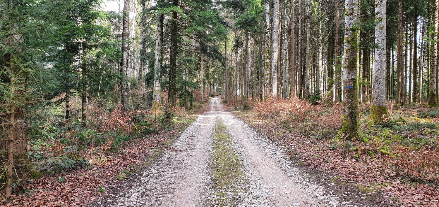
The Pampigny forestry trail
Along this trail you will discover didactic panels on the profession of forest ranger.
Distance
Duration
Elevation gain
Elevation loss
Difficulty
This trail is intended for walkers interested in forest management. It illustrates – by means of evolving information panels placed throughout the route – the forest service’s concerns about the estate of Pampigny, a flat municipality with its own team of loggers. The course consists of two loops that pass close to the start. Walk next to three small refuges where it is possible to build a fire or take shelter.
Itinerary
Route details
Duration
Distance
Elevation gain
Elevation loss
Difficulty
Practical Information
Height difference :
Positive: 127 m
Negative: 132 m
Altitudes :
Max: 682 m
Min: 633 m
Public transport: take the MBC 156 train from Morges and get off at the “Tuilerie” stop.
By car: it is advisable to park in Pampigny, at the station or in the village, and then take the train to the “Tuilerie” stop. The village is about 30 minutes walk from the start of the hike and the road is not suitable for walking.