

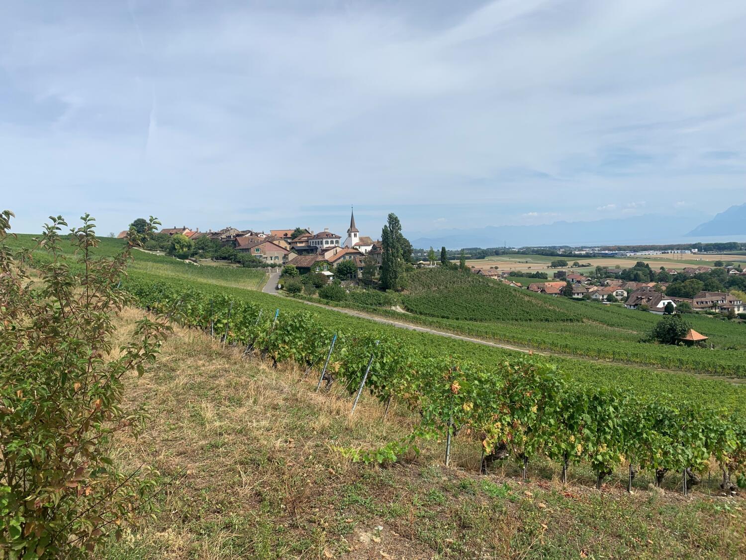
Hike from Allaman to Signal de Bougy
Walk to the leisure park Signal de Bougy from Allaman station.
Distance
Duration
Elevation gain
Elevation loss
Difficulty
From Allaman station, climb to the Signal de Bougy through the charming villages of Féchy and Bougy Villars.
The path runs along the motorway for a short distance at the beginning and quickly becomes a path through the vineyards. From Féchy, the view of the lake and the mountains opens up and offers a breathtaking panorama.
The hike is not suitable for pushchairs, but can be done by mountain bike.
The last stretch from Bougy-Villars is relatively steep and is therefore recommended for children who walk well, even uphill.
Itinerary
Route details
Duration
Distance
Elevation gain
Elevation loss
Difficulty
Highest point
Lowest point
Practical Information
Admission to the Signal de Bougy park is free. The park is open all year round.
Height difference :
Positive: 309 m
Negative: 42 m
Altitudes :
Max: 692 m
Min : 420 m