
Parcours Col du Mollendruz–La Bréguettaz
Distance
4 km
Duration
1.5833334
Elevation gain
140
Elevation loss
171 m
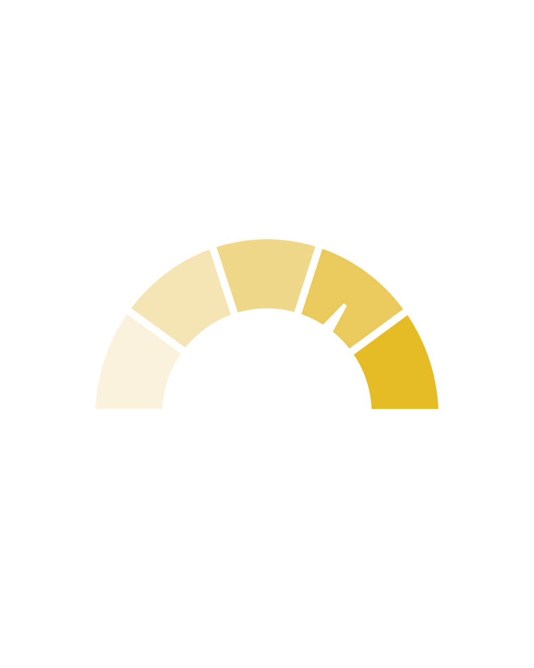
Difficulty
Easy
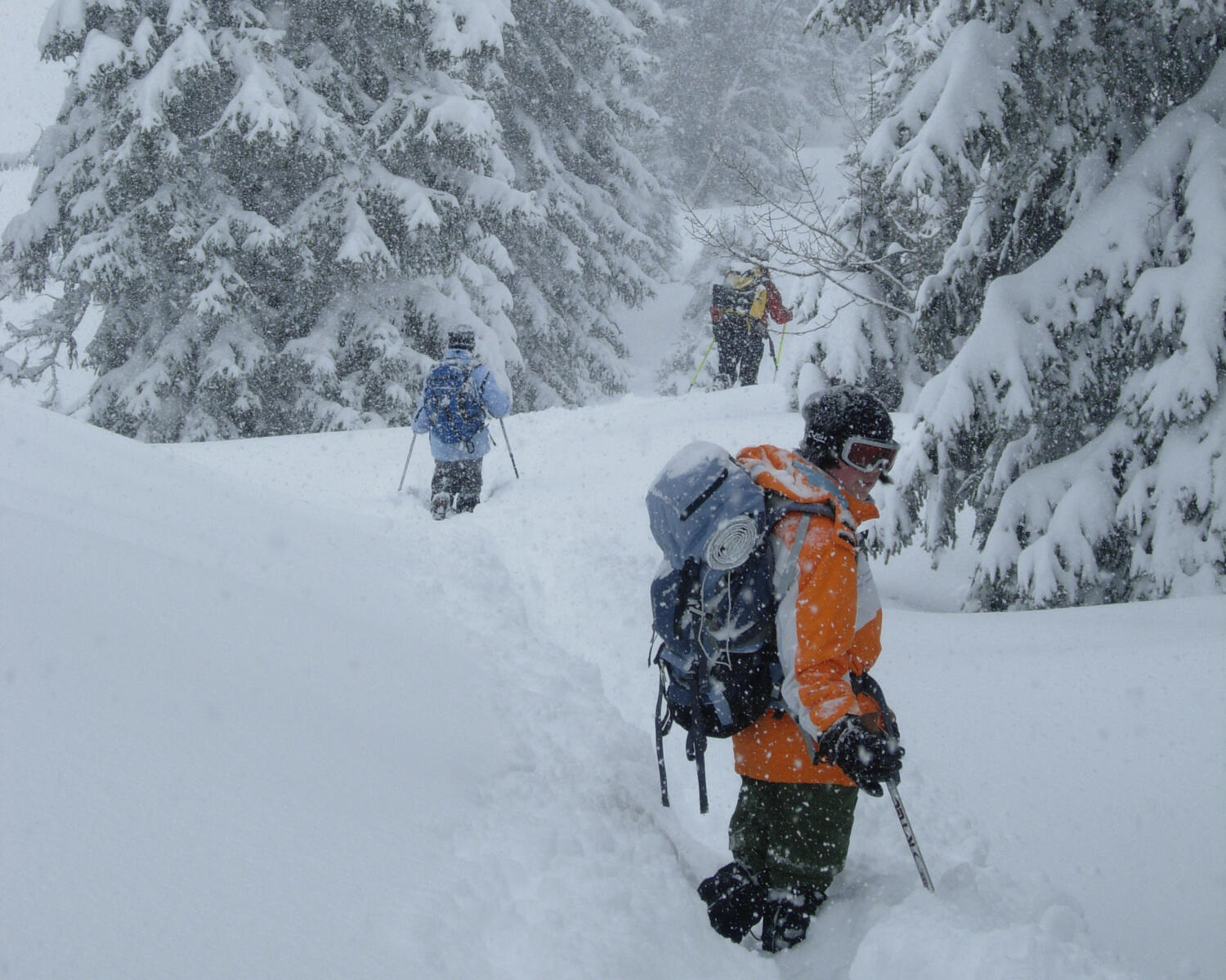
Starting from the Col du Mollendruz, the link between the Lake Geneva region and the Vallée de Joux, the La Bréguettaz loop is ideal for families. At the halfway point, the chalet-restaurant of the same name is a chance to take a break and refuel in a cosy, authentic setting.
Itinerary
Route details
Duration
1.5833334
Distance
4 km
Elevation gain
140
Elevation loss
171 m
Difficulty
Easy
Departure
Col du Mollendruz
Arrival
Col du Mollendruz
Highest point
1190 m
Lowest point
1072 m
Practical Information
Direction of signs:
The route is only marked in one direction: