

Marchairuz–Mollendruz ski run
Distance
Elevation gain
Elevation loss
Difficulty
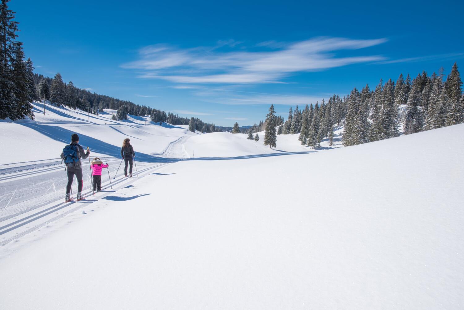
The cross-country ski route between Marchairuz and Mollendruz is a classic in the region. This high-altitude route winds through the magnificent Jura valleys to the foot of Mont-Tendre, passing various alpine chalets along the way.
After admiring the view of Mont Blanc from the Hôtel-restaurant du Marchairuz, simply head down towards the Vallée de Joux to the hamlet of Fontaine Froide to rejoin the trail which leads eastwards to the Col du Mollendruz or westwards to the Col de la Givrine.
The Marchairuz–Mollendruz route winds through the wooded pastures of the Haut-Jura and passes close to alpine chalets that are only occupied during the summer months. The track successively crosses the mountain pastures of Pré de Denens, climbs towards the Chalet des Combes, Grands Crosets-Dessus, Croset au Boucher and La Racine before reaching the small, unusual Bon Accueil refuge, the highest point of the route at 1,507 metres. Bon Accueil is an old bus that has been converted into a mountain hut. It’s well worth stopping for a picnic or just popping in for a visit.
From there, a long descent begins down the Mazel, then through the large valley of the Pré de l’Haut. There is a slight climb left to tackle, after which the trail descends gently towards the Chalet du Mollendruz, a popular stop-off for cross-country skiers and snowshoe walkers in winter. From there, the Col du Mollendruz is close by; all you have to do is glide down for just under a kilometre to reach the large car park and its sports shop, Nordic Sport.