

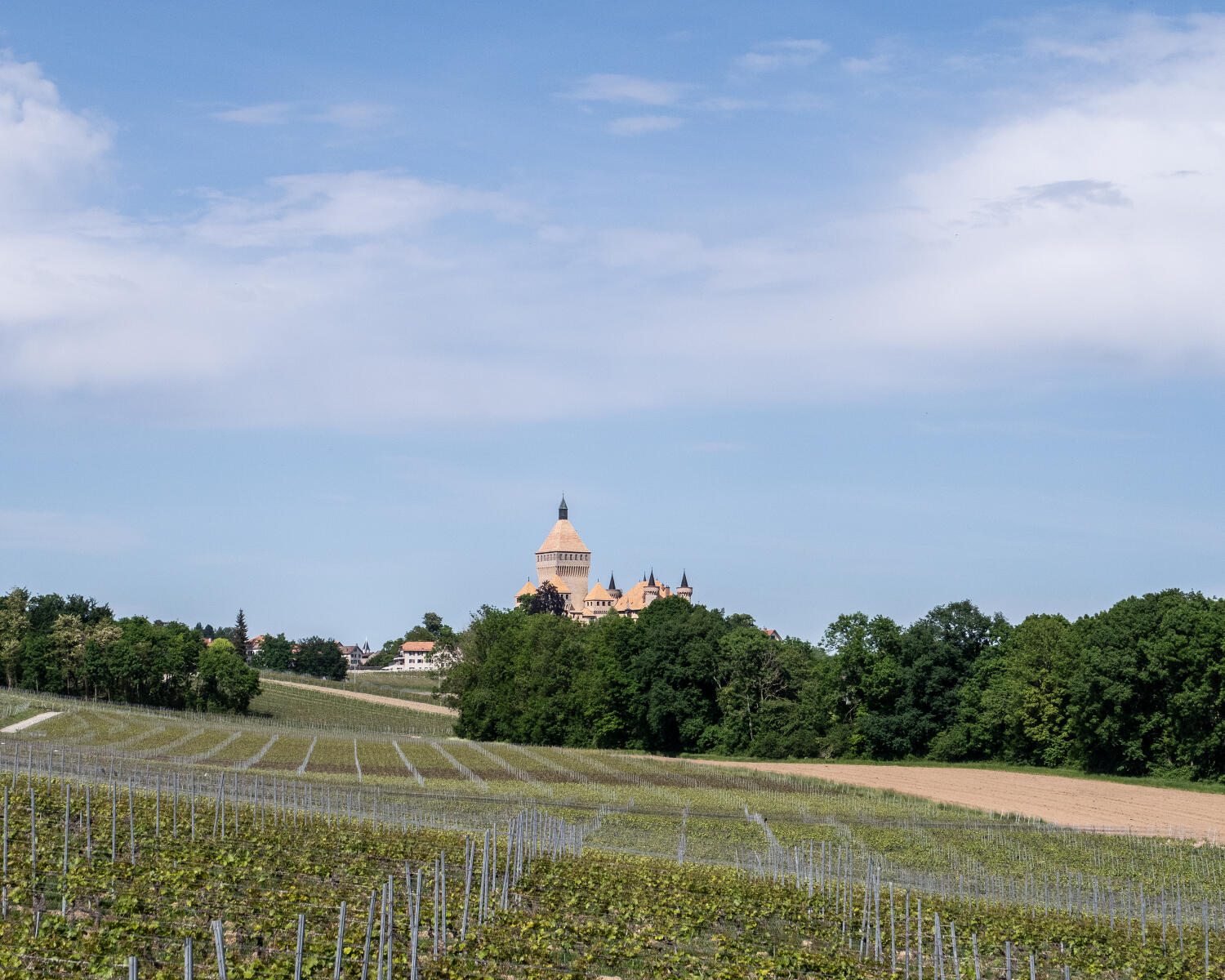
Du Pied du Jura au Léman
This itinerary lets cyclists discover the region’s typical sceneries: the lake, the vineyards, the countryside and the Jura foothills.
Distance
53 km
Elevation gain
740
Elevation loss
971 m
Difficulty
Easy
This itinerary lets cyclists discover the region’s typical sceneries: the lake, the vineyards, the countryside and the Jura foothills.
Itinerary
Route details
Distance
53 km
Elevation gain
740
Elevation loss
971 m
Difficulty
Easy
Departure
Morges
Arrival
Morges
Highest point
763 m
Lowest point
373 m
Practical Information
From Morges follow the signalisation to Vufflens-le-Château, then go on the route No 63 to Vuillerens, then follow the siganlisation to Cuarnens, then go on the route No 50 to Berolle, then follow the signalisation to St. Prex and then go on the route No 1 back to Morges.