
From Apples to Mollens, via the Monod marshes
This beautiful walk will allow you to discover the nature reserve “En Vuarrens” as well as this marsh of national importance. One finds in this magnificent marshy zone almost all the wetlands that we meet in our country.
Distance
Duration
Elevation gain
Elevation loss
Difficulty
There is a low marsh, a reedbed, a wet meadow and the largest flooded alder forest in Switzerland. You will also discover the Veyron, which floods the entire area in high water, the ponds of La Muraz, which were former clay pits exploited by the tile mills, as well as an exceptional fauna linked to these environments. For example, you will be able to observe many species of birds.
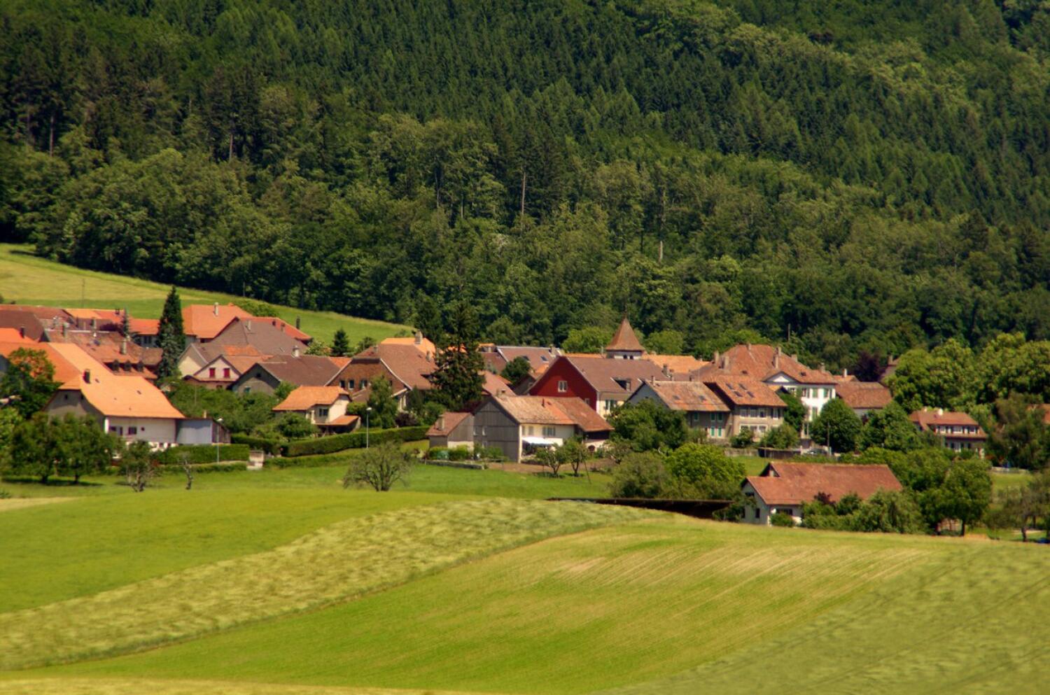
From the Apples train station, go up in the direction of the Beer Road. At the level of the En Montelin road which is on your left, take the country road on your right. At the Apples train station, you will find yellow signs with indications. The walk takes you first through the fields and then into the forest. Most of the route is through the forest on gravel paths or trails as well as occasionally on concrete paths. This route crosses the Monods swamp as well as the nature reserve “En Vuarrens”. In Apples as well as in the village of Pampigny which you will cross on the way, you have the possibility to stop and buy sth. You will find benches and picnic places along the way.
Itinerary
Route details
Duration
Distance
Elevation gain
Elevation loss
Difficulty
Practical Information
The hike starts and ends at Apples railway station, easily accessible by MBC train.
If you come by car, you can park in the village.
Vertical rise:
Positive: 223 m
Negative: 224 m
Altitudes :
Max: 685 m
Min: 628 m