

Sentier de la Morges – From stone to castle
TRAIL UNAVAILABLE UNTIL FURTHER NOTICE Guided by Jaquette de Duin, the chatelaine of Vufflens who actually lived between the 14th and 15th centuries, follow the Morges River and discover the history of the castle, biodiversity, geology and vineyards of the valley.
Distance
Duration
Elevation gain
Elevation loss
Difficulty
Between the Morges skating rink and Vaux-sur-Morges, the Sentier de la Morges follows the course of the river, passing through a variety of forests, past the foot of the Vufflens castle and alongside vineyards and pastures.
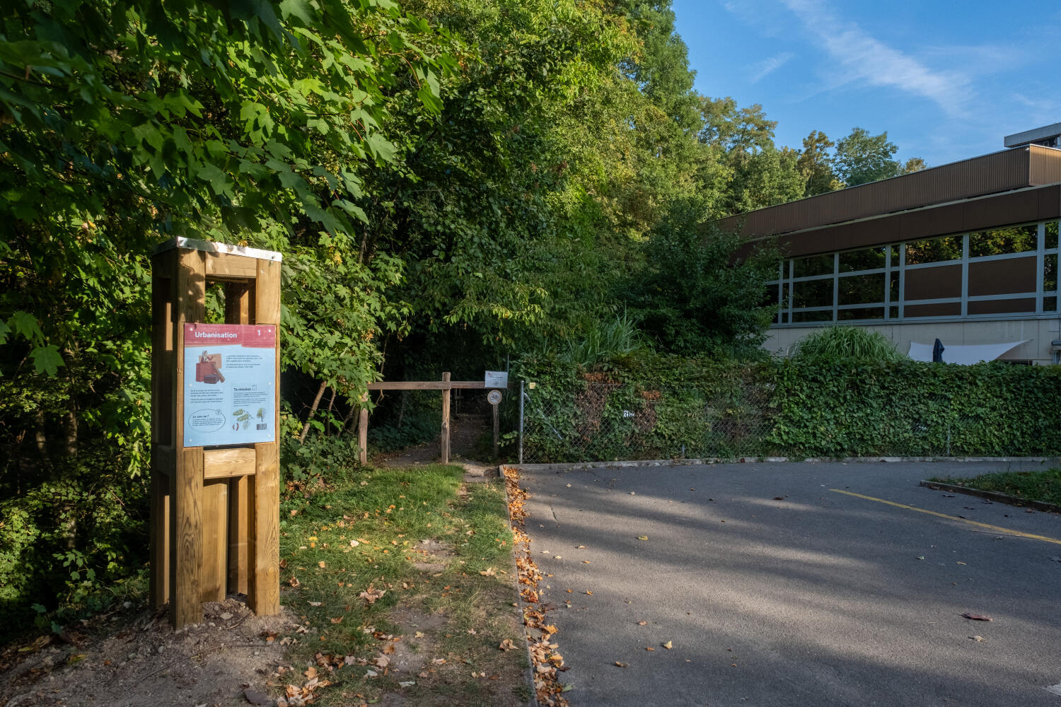
Thanks to 11 themed markers, observation games and missions to complete, you can discover the Morges valley in a fun way in the company of Jaquette de Duin.
You can return to the starting point on foot along the same route, following the miller Tudors on the “From water to mills” trail.
To return by public transport, take a bus to Vaux-sur-Morges or the MBC train to Vufflens-le-Château.
Timetable on: cff.ch
The Sentier de la Morges is also accessible from Vufflens-le-Château.
Educational documents can be downloaded free of charge from: www.asm-morges.ch
Itinerary
Domaine Les Tilleuls
Chantal, Arnaud et Pierre Duruz
Rue du Village 22
1125 Monnaz
Suisse
Domaine de la Balle et des Abbesses
Chemin de la Glacière 1
1134 Vufflens-le-Château
Suisse
Route details
Duration
Distance
Elevation gain
Elevation loss
Difficulty
Practical Information
Vertical rise:
Positive: 250 m
Negative: 133 m
Return route: Sentier de la Morges – From water to mills
You can return to the starting point on foot along the same route or by public transport from Vaux-sur-Morges, Morges or Vufflens-le-Château. Timetable on cff.ch.
Both routes are available on the Morges:Guide app. Here you will find additional information and translations into German and English.
Access to this trail is free and under the hiker’s responsibility.
The path can be slippery in wet weather and includes steps.