

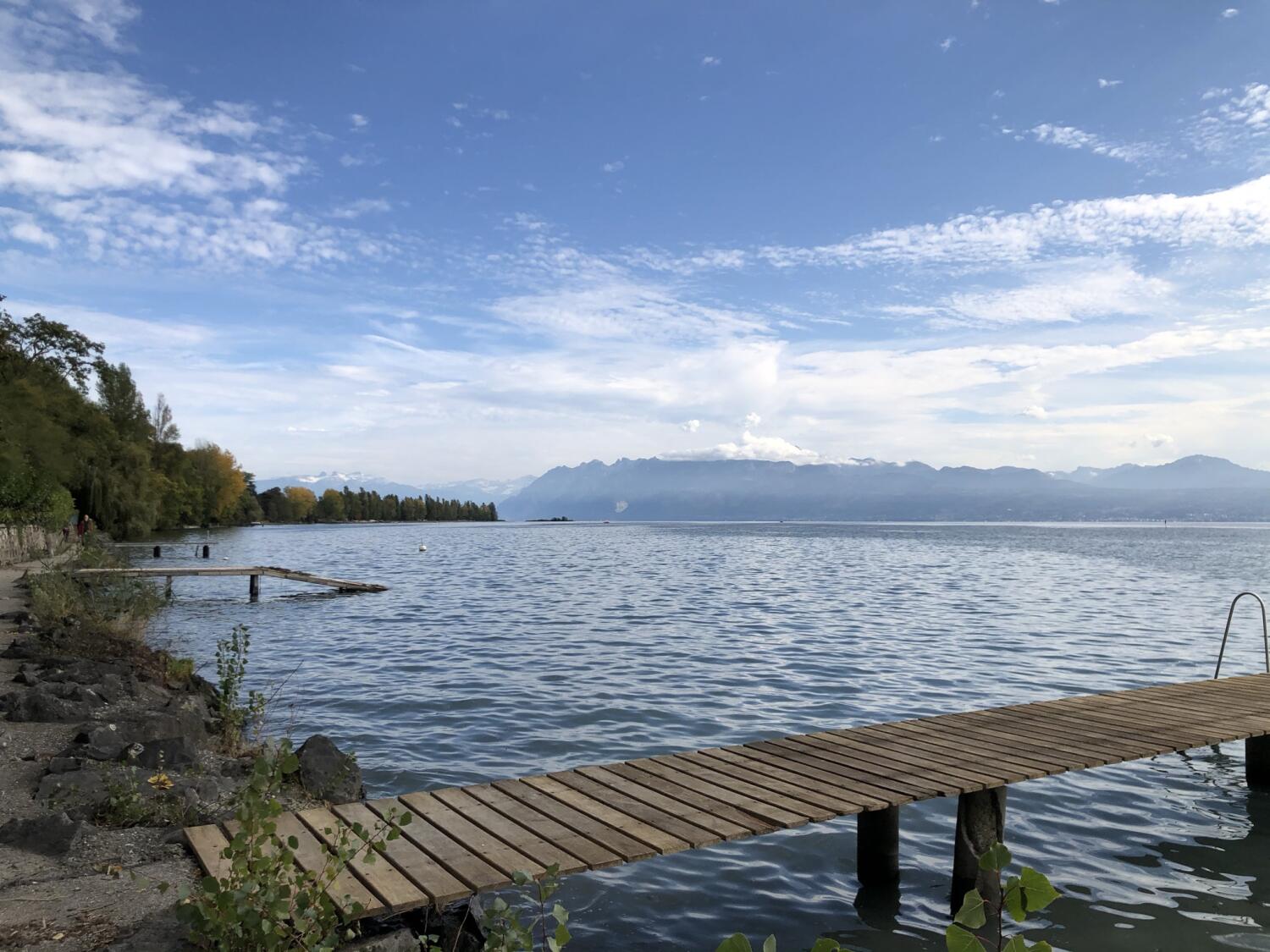
Stroll along the lake between Morges and Lausanne
This walk, entirely flat along the lake, offers a breathtaking panorama on Lake Geneva and the Alps.
Distance
Duration
Elevation gain
Elevation loss
Difficulty
Starting from the harbour (its 2 gatehouses) and the castle, walk along the flowered quays (especially from July to October: Dahlia Festival), pass in front of the landing stage, the Casino, the church and the Bay of Morges. The Parc de Vertou (with children’s games) is at the end of this path, just before crossing the river Bief.
The next part of this picturesque path along the lake takes you to Préverenges beach, where it is possible to hire a stand-up paddle or a pedal boat. A hotel-restaurant and a snack-bar can be found along the beach.
Be sure to stop at Bird Island, a safe rest and nesting site for migrant birds, 100 m from the shore. Cross the bridge over La Venoge, the fetish river of the local people and, after the forest, relax on the sandy beach of Laviau.
Once in St-Sulpice, you will pass by medieval masterpieces: the priory (where 40 monks lived for several centuries, now a private property) and the Romanesque Church (completed in the 12th century, classified as a historical monument). Once you have passed the peaceful Port des Pierrettes, you will walk along the beaches of Dorigny and Vidy and rediscover the more urban atmosphere of the quays of Lausanne-Ouchy.
Itinerary
Route details
Duration
Distance
Elevation gain
Elevation loss
Difficulty
Practical Information
Vertical rise:
Positive: 61 m
Negative: 61 m
Altitudes :
Max 377 m
Min: 372 m
Several bus lines run along the lake by the cantonal road.