

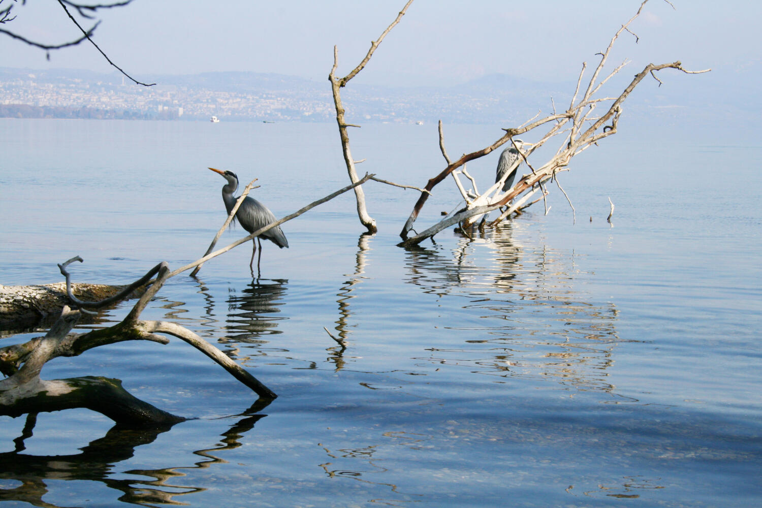
The Trout Trail
From the Castle of Morges, walk along the lake to the House of the River in Tolochenaz. Then follow into the forest, along the Boiron river and pass through the charming village of Saint-Prex.
Distance
Duration
Elevation gain
Elevation loss
Difficulty
From the Castle of Morges, walk through the Independence park where hundred-year-old trees can be admired. Then continue along the lake and once you have passed the Petit-Bois harbour, step into the forest that borders Lake Geneva and also includes a Vita trail.
From here and until the end of the forest, didactic signs punctuate the route.
For example, learn more about the lake, fishing and the towns that were once along the lake.
Pass by the House of the River and enjoy a stop to discover this unique place. Fun exhibits, an educational pond and aquariums await.
The Trout Trail carries on in the forest and along the river for a few kilometers.
Once you come out of the forest, you’ll reach the pretty town of Saint-Prex and admire its charming streets and clock tower.
Numerous benches are present on the way. A small picnic area is available in the forest.
To get back to your starting point, you can take the bus N° 724 at Place d’Armes, take the train at Saint-Prex station or walk back along the railway line following the yellow signs back to Morges. The walk back takes about 1h30 (5km).
In case of military shooting in Tolochenaz, a diversion is set up via the Vita trail, which is just above the track.
Itinerary
Artisan Gourmand
Anouck et Nicolas Flageul
Rue du Pont-Levis 20
1162 Saint-Prex
Suisse
Route details
Duration
Distance
Elevation gain
Elevation loss
Difficulty
Practical Information
Height difference :
Positive: 145 m
Negative: 145 m
Altitudes :
Max : 427 m
Min: 373 m