

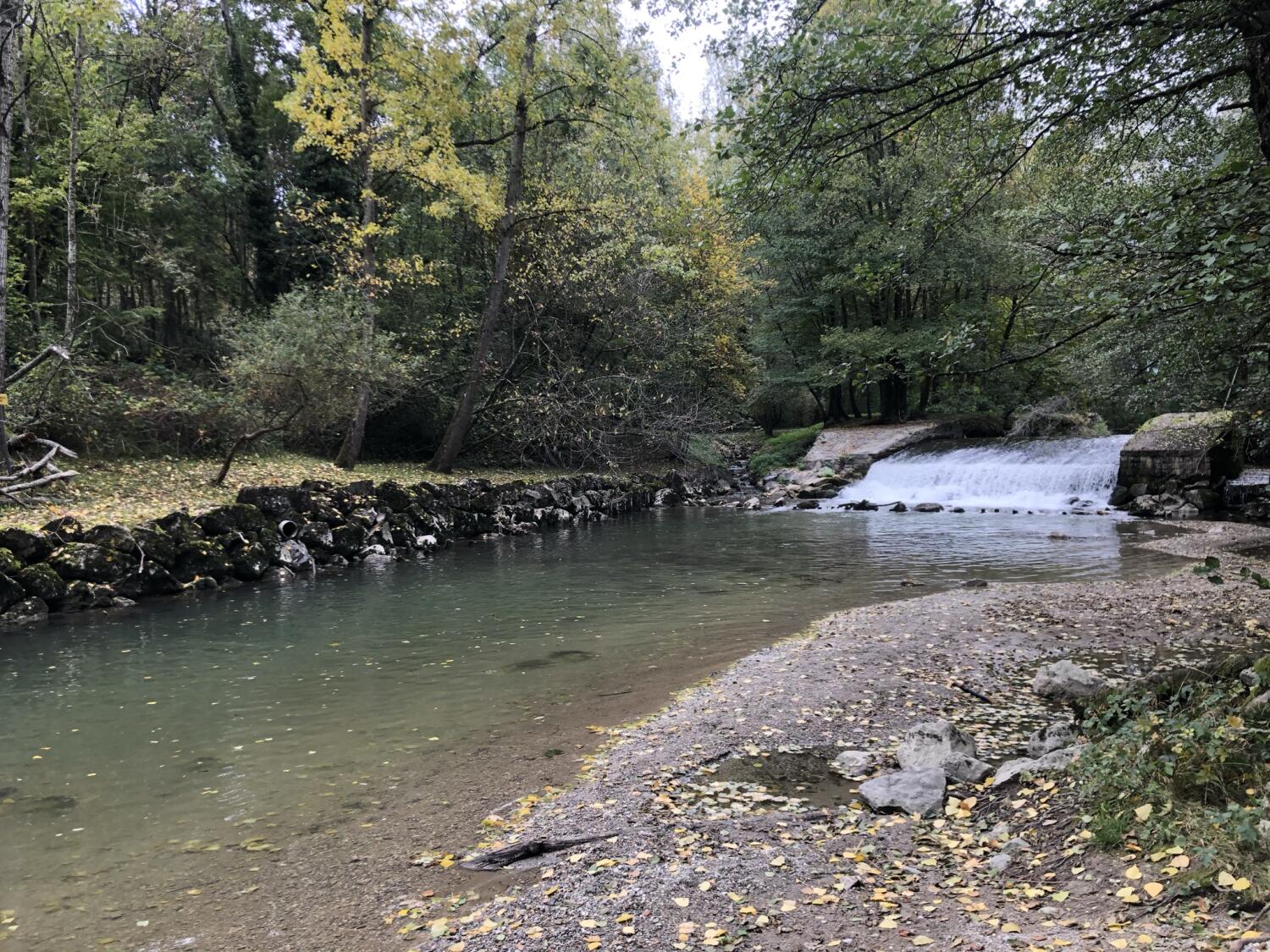
Walk along the river Venoge
Meet the coveted river: La Venoge
Distance
18.2 km
Duration
4h40
Elevation gain
421 m
Elevation loss
423 m
Difficulty
Medium
Starting from the mouth of the Venoge river, between St-Sulpice and Préverenges, follow the path along the river, upstream to Bussigny.
The walk continues in the direction of Echichens, crossing the fields and vineyards of Morges.
At the top of Marcelin, you will walk back down to the lake by the Morges trail.
Itinerary
Route details
Duration
4h40
Distance
18.2 km
Elevation gain
421 m
Elevation loss
423 m
Difficulty
Medium
Practical Information
If you come by public transport, get off at the Saint Sulpice Laviaux bus stop.
You can then finish the walk at Morges train station and leave directly.
If you come by car, you can park at the port of Saint Sulpice. From Morges train station, you can then take a bus back to your car. (Bus 701 direction Bourdonnette)