Sentier de la Morges - From stone to castle
Media - Sentier de la Morges - From stone to castle
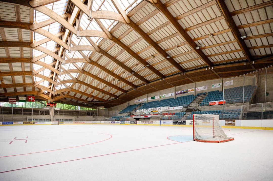
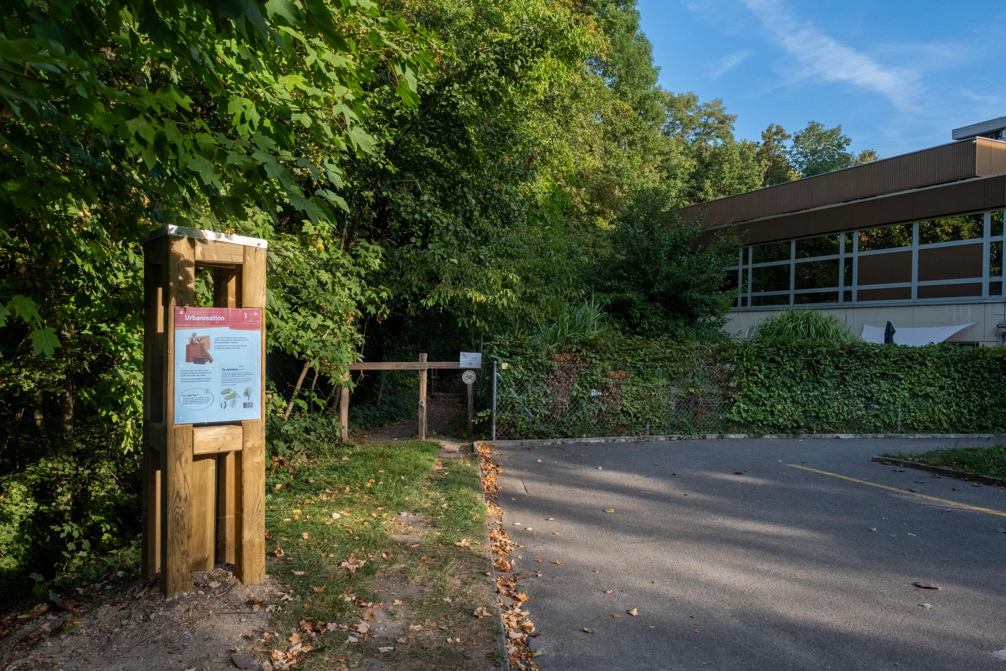
1. Skating rink Eaux-Minérales
The "Eaux-minérales” skating rink welcomes kids and adults during the winter season.
See more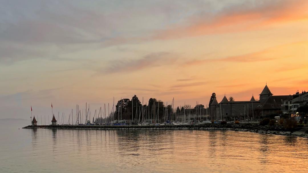
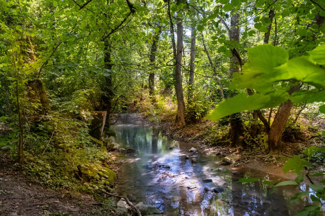
2. Morges
The city of Morges, famous for its flower displays, benefits from a privileged situation on the shores of Lake Geneva, facing the majestic Mont Blanc.
See more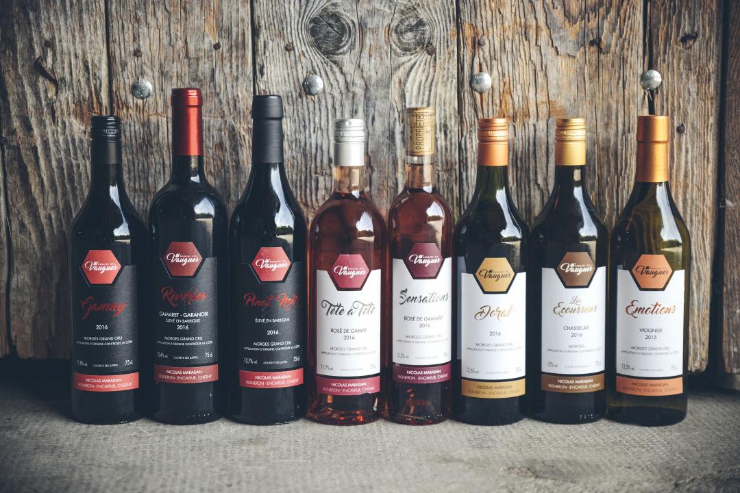
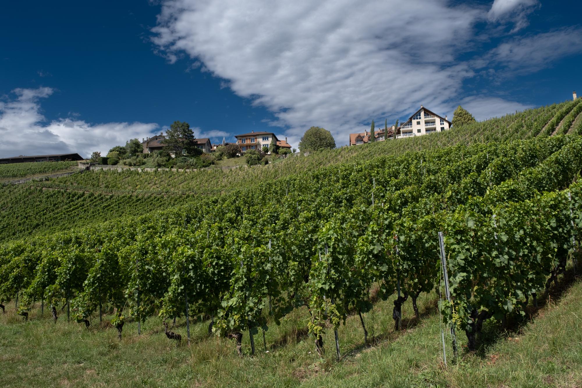
4. Domaine Les Tilleuls
Established in Monnaz since the end of the 19th century, the Duruz family cultivates 10 grape varieties covering 20-acres of vineyard.
See more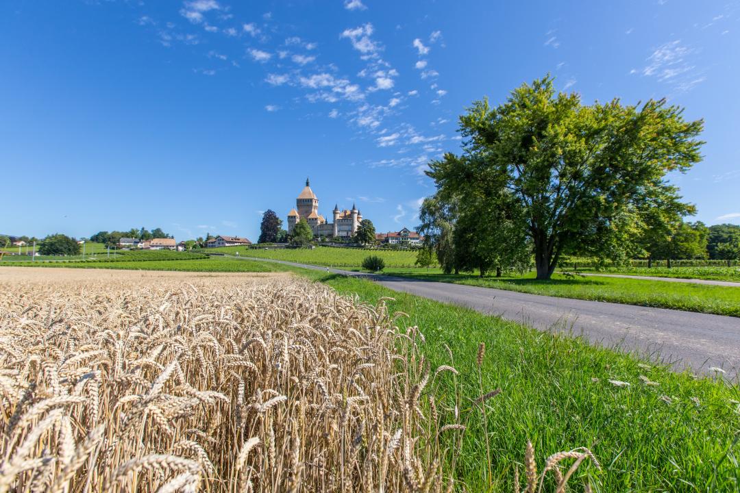
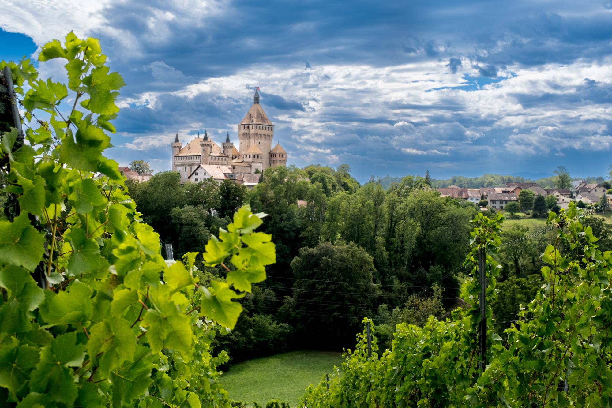
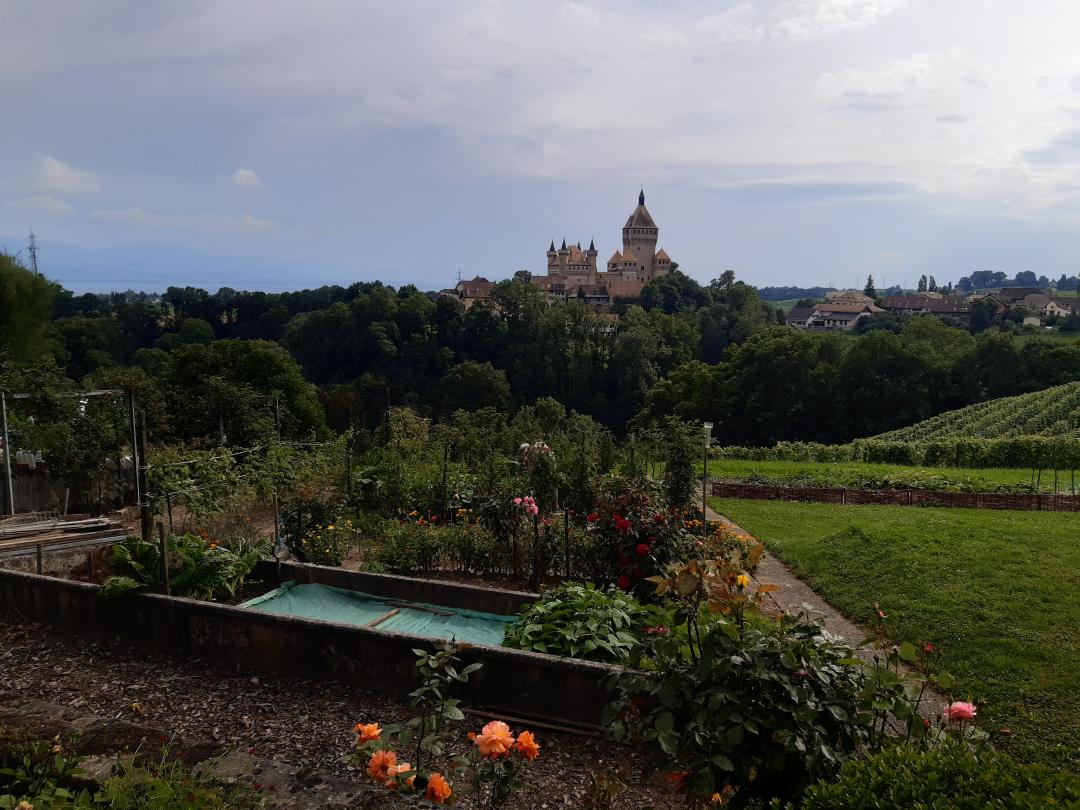
5. Commune de Vufflens-le-Château
With its majestic donjon of a height of 60m, the castle of Vufflens is visible from far away.
See more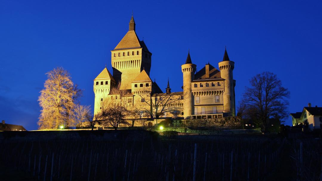
6. Castle of Vufflens (private)
Vufflens Castle was built of stone in the 15th century and is the town’s symbol.
It can only be admired from the outside.
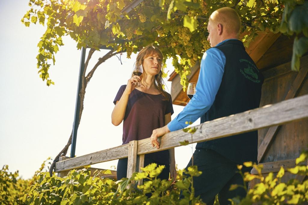
7. Domaine de la Balle et des Abbesses
The Perey family who have been wine enthusiasts since the 15th century, welcome you for some wine tasting.
See more
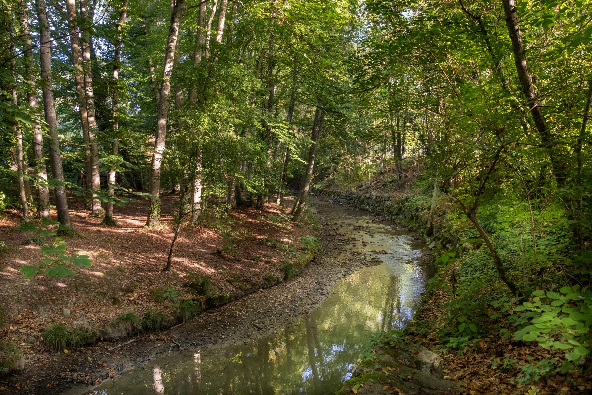
8. Commune of Vaux-sur-Morges
Vaux-sur-Morges, a haven of peace located between Vufflens-le-Château, Bussy-Chardonney, Echichens, Clarmont and Reverolle.
See moreGeneral information
- Length
- 4.5km
- Duration
- 2 h
- Positive difference in height
- 230m
- Negative difference in height
- 125m
- Difficulty
- Easy