The Trout Trail
Media - The Trout Trail
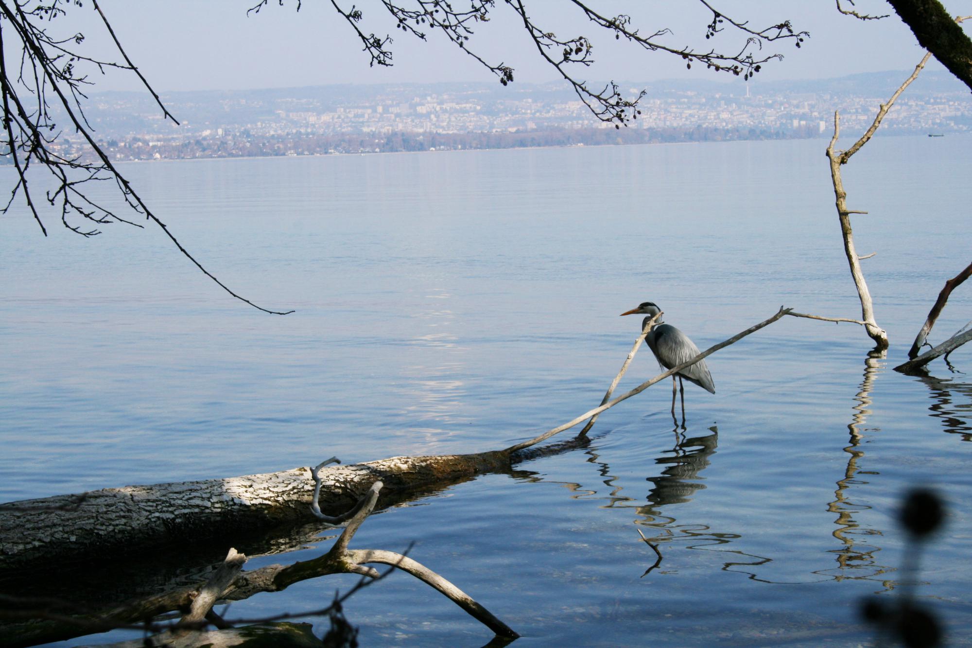
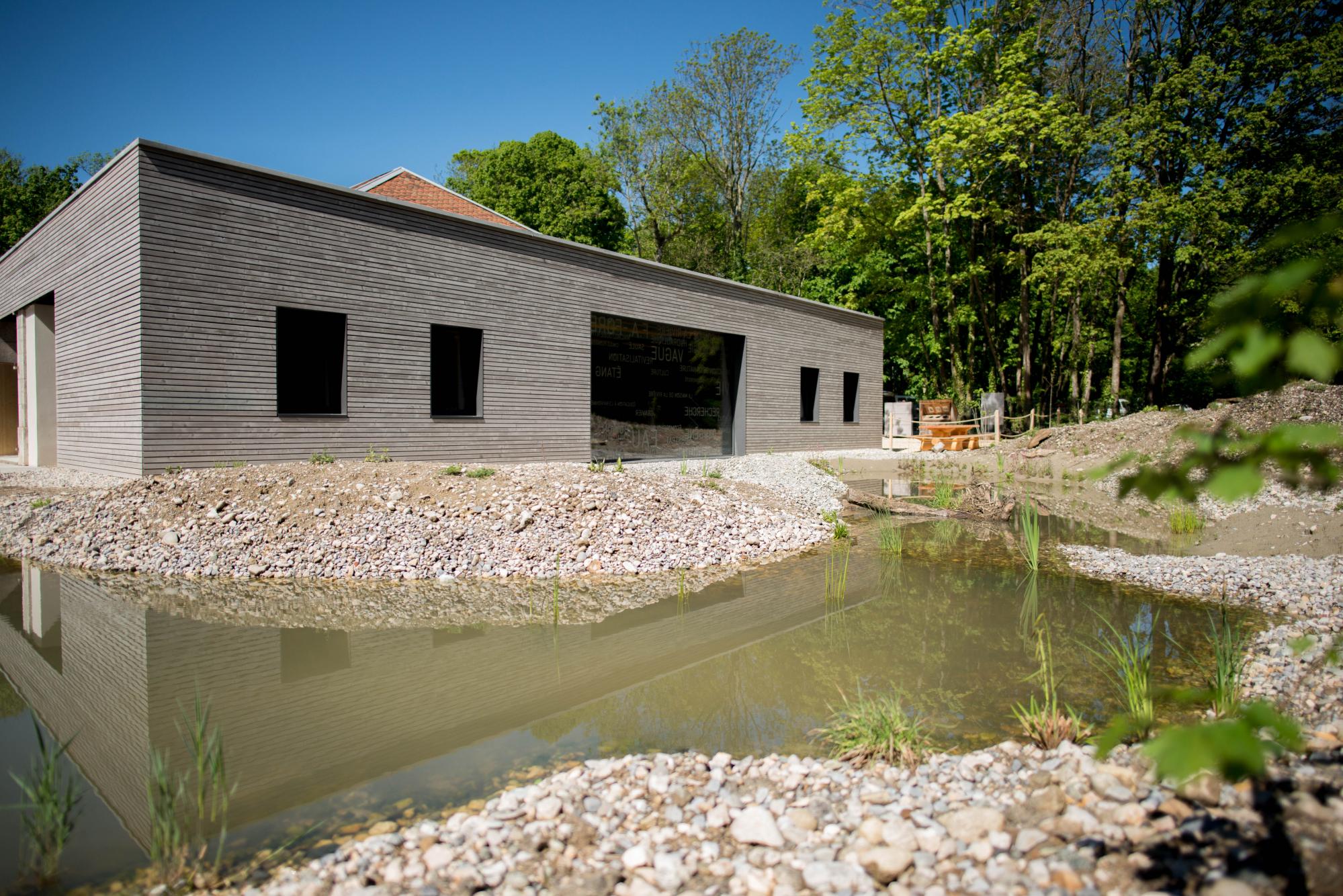
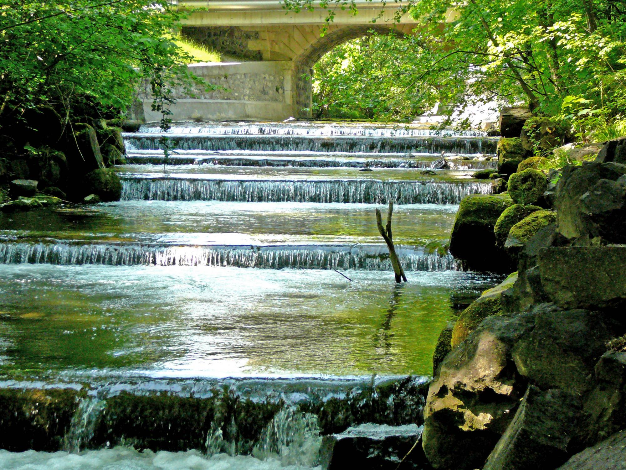


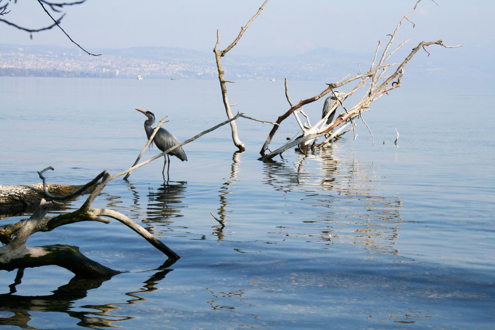
2. House of the River
The House of the River teaches the public all about the wonder but also the fragility of ecosystems.
See more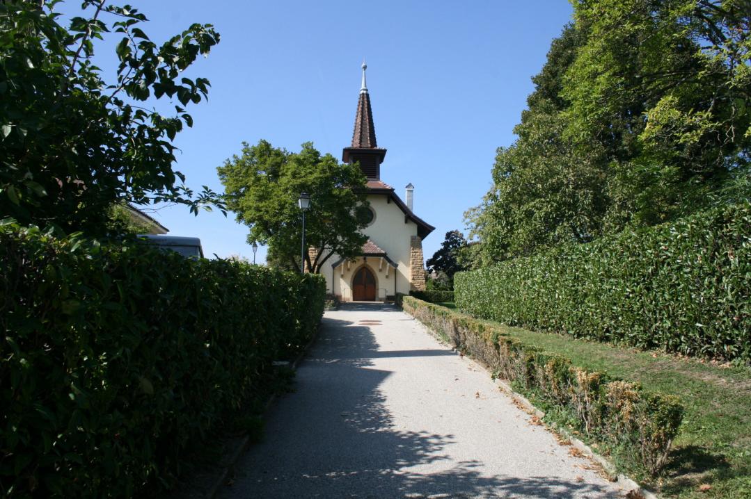
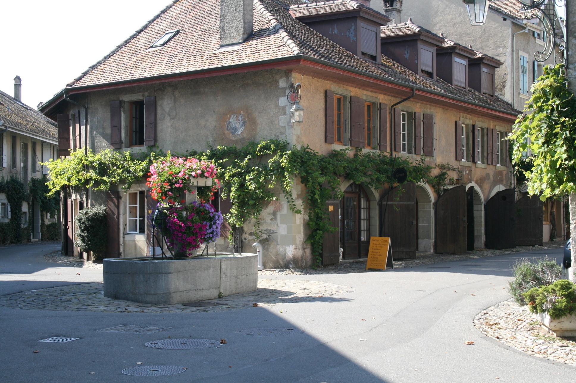
3. Tolochenaz
Tolochenaz is a village whose charm especially fascinated the actress Audrey Hepburn, who lived there for 30 years.
See more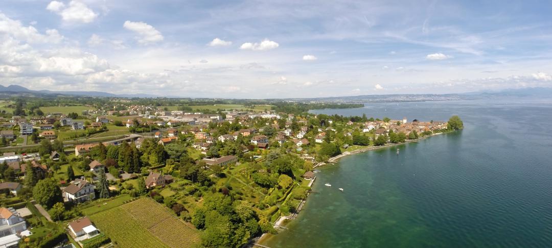
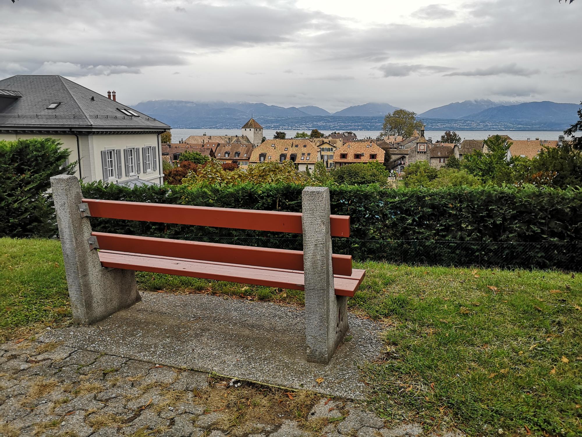
4. Saint-Prex
The lovely medieval town of Saint-Prex, built on a triangular peninsula, is recognizable by its famous clock tower.
See more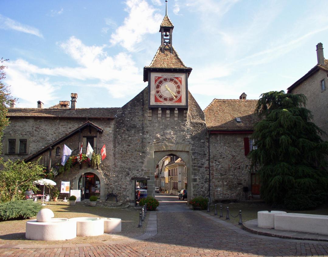

6. Artisan Gourmand
Just for the pleasure of it, a gourmet diversions in one of the bakeries-pastry shops-chocolateries of the Atelier Gourmand is a must!
See more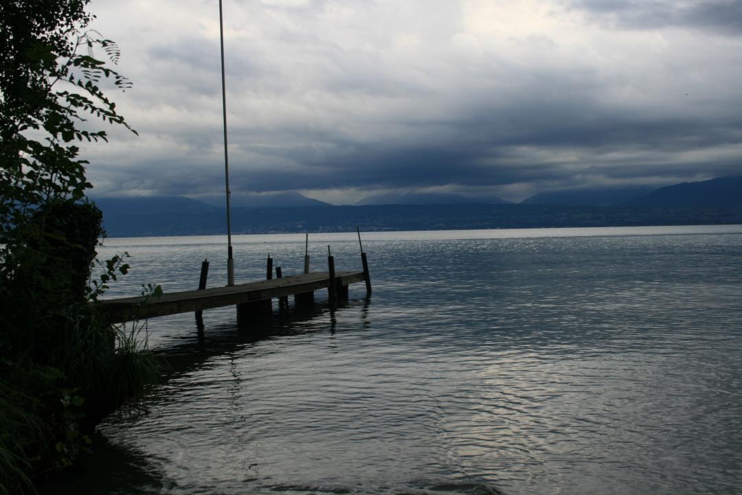
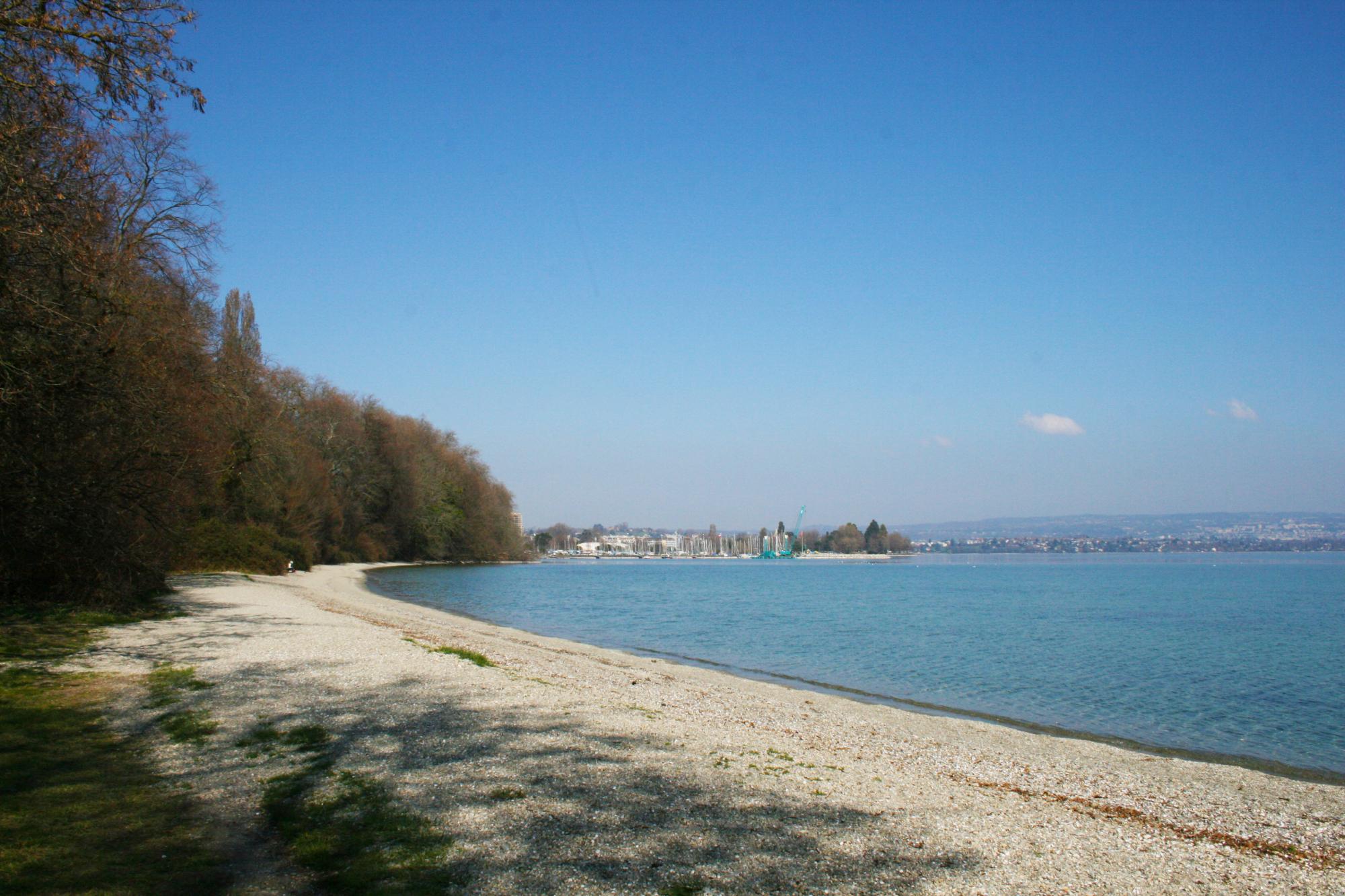
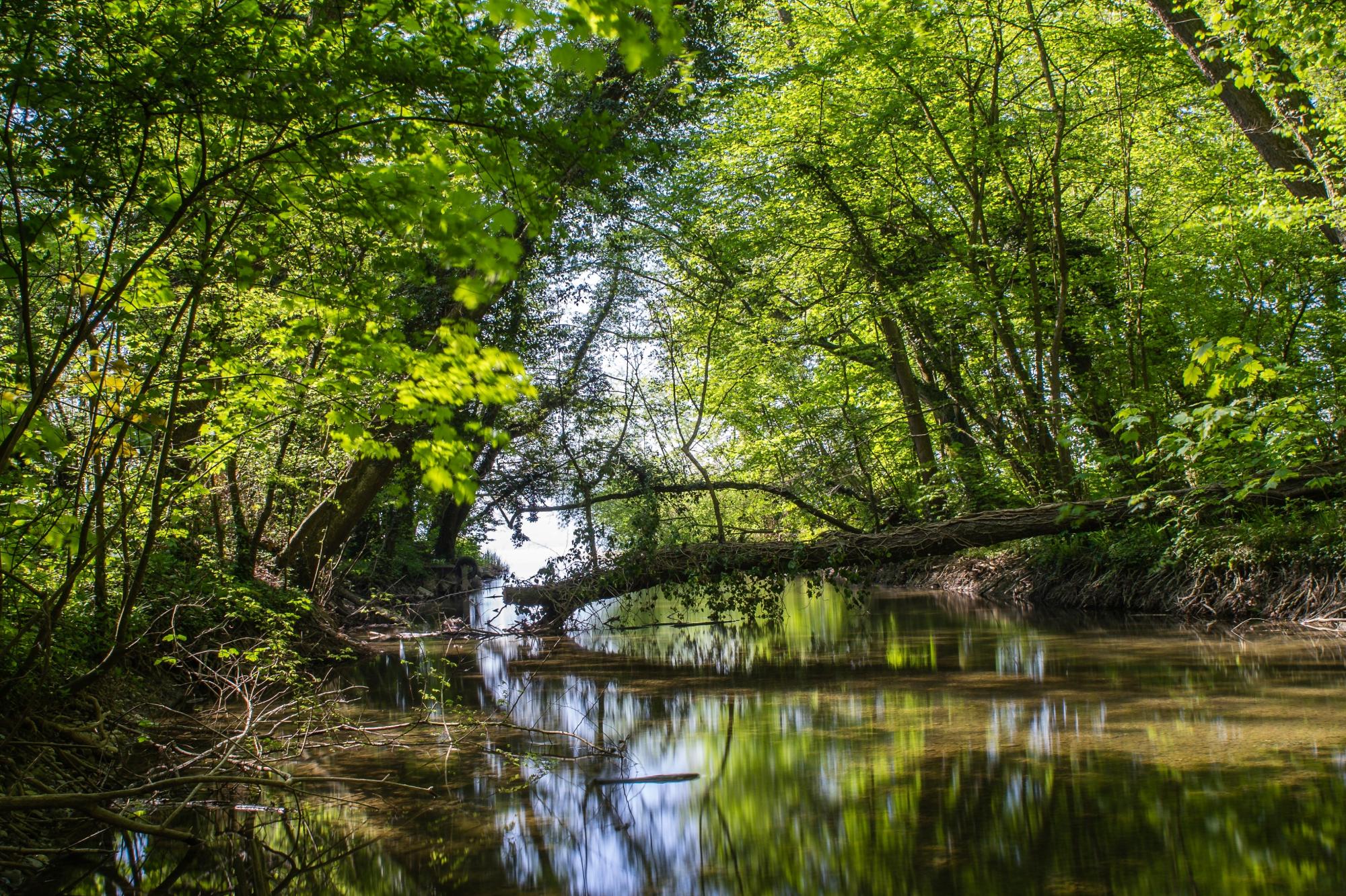
7. Boiron beach
Beach located at the mouth of the River Boiron, not far from the Maison de la Rivière.
See moreGeneral information
- Length
- 7.5km
- Duration
- 3 h
- Positive difference in height
- 179m
- Negative difference in height
- 175m
- Difficulty
- Easy